Introduction
The IL Route 157 project in St. Clair County, IL, represents a significant undertaking by a Subsurface Utility Engineering (SUE) consultant to enhance the safety and efficiency of road improvements for the Illinois Department of Transportation (IDOT) District 8.
This case study outlines the project's scope, the strategies employed for utility mapping, the execution of test holes for detailed utility data, and the overall impact of these efforts on the project's success.
Project Scope and Overview
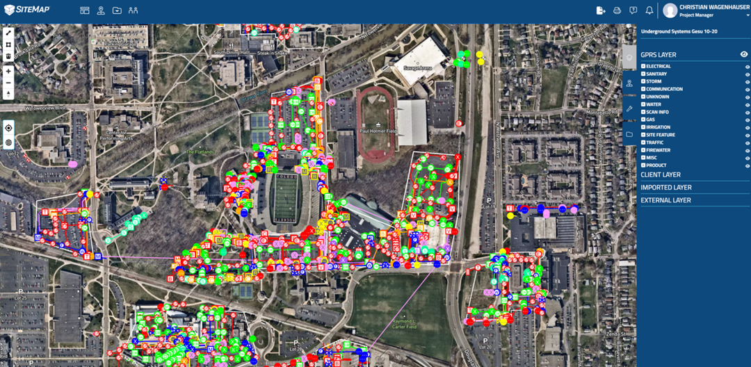
Tasked with the challenge of accurately mapping approximately 46,000 feet of utilities along IL Route 157, the SUE consultant embarked on a comprehensive utility designation, surveying, and mapping mission.
The project aimed to obtain Quality Level B (QL-B) data for the vast network of utilities, which was critical for the planning and execution of road improvements without impacting existing utility services.
Methodologies Employed
Utility Designation and Mapping at QL-B
The consultant utilized surface geophysical techniques to identify and map the utilities along the route.
This approach enabled the team to gather important data about the type, location, and approximate depth of utilities, providing a clear overview of the underground infrastructure.
Excavation of Test Holes for QL-A Data
To complement the QL-B data and obtain the highest level of accuracy, the consultant excavated a total of 44 test holes at strategic locations along the project site.
These test holes provided precise depth and elevation measurements for critical utilities, ensuring that any potential conflicts could be identified and mitigated early in the project's design phase.
Notably, one test hole excavated on a sanitary line reached a depth in excess of 15 feet, highlighting the project's commitment to thoroughness and safety.
Challenges and Solutions
Deep Excavation for Test Holes
The excavation of test holes, especially the one exceeding 15 feet in depth, posed significant safety and logistical challenges.
To address these, the consultant employed advanced excavation techniques and safety protocols, ensuring that the deep excavation did not compromise the integrity of the utility or pose risks to the project team.
Comprehensive Utility Mapping in a Dense Area
Mapping utilities in a dense and active roadway environment required careful planning and execution to minimize disruption to traffic and local services.
The consultant's strategic approach to utility designation and the targeted excavation of test holes allowed for efficient data collection with minimal impact on the surrounding area.
Impact and Outcomes
The IL Route 157 utility mapping project successfully provided IDOT with detailed and accurate utility data, facilitating informed decision-making for the road improvement project.
By achieving a comprehensive understanding of the existing underground utilities, the project team was able to design road improvements that avoided utility conflicts, thereby reducing the risk of delays and additional costs.
Conclusion
The IL Route 157 project serves as a prime example of how detailed utility mapping and strategic excavation of test holes can significantly benefit infrastructure projects.
The SUE consultant's meticulous approach to gathering QL-B and QL-A data ensured that the road improvements could be planned and executed with a high degree of confidence in the accuracy of the underground utility information, setting a standard for future projects within IDOT District 8 and beyond.