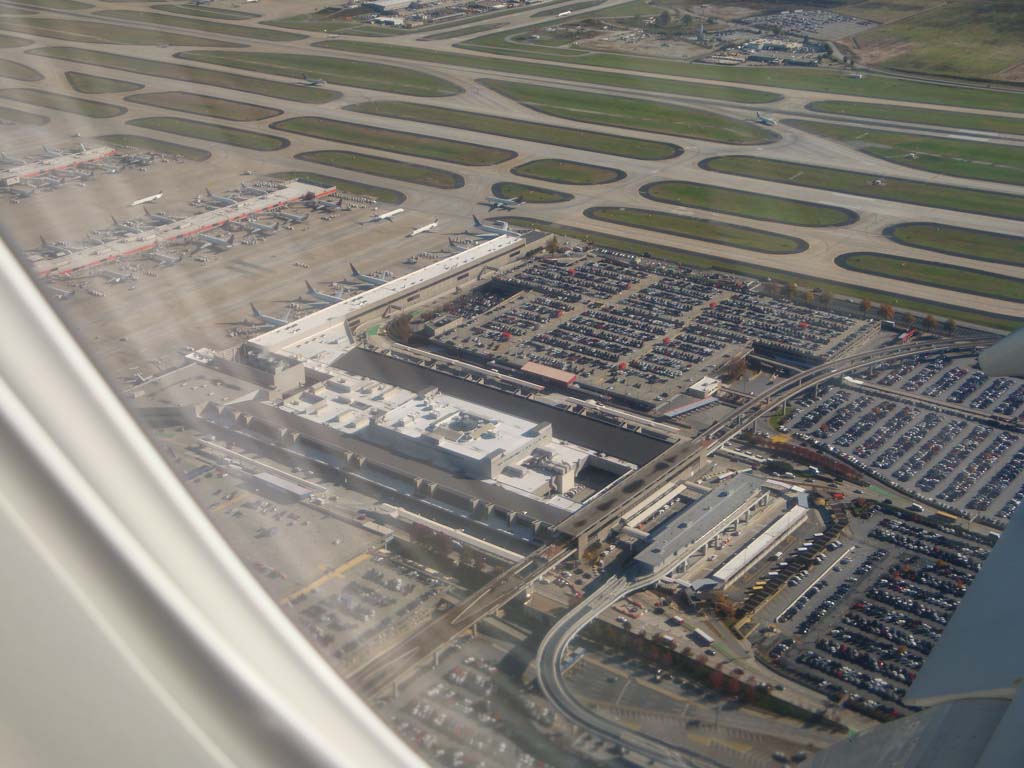
Hartsfield-Jackson Atlanta is the world’s busiest passenger airport, serving more than 89 million passengers in 2005. To expand the capacity of the airport, a new 9,000-ft runway was officially commissioned in May of 2006.
As new cables were buried parallel to the new runway, approximately 1,000 discrete locations were electronically marked to support routine maintenance activities and future construction work.
Typically, buried utilities at airports are marked using 2-ft. x 2-ft. x 6-in. concrete markers flush with the ground, which are placed immediately above marked features.
Such physical markers are costly (about $100 each), and require ongoing maintenance such as painting and grass removal. Also, they can be accidentally displaced by moving equipment and soil erosion, which can compromise excavation accuracy.
Locating the buried utilities is accomplished using multi-frequency electromagnetic cable locators. While effective for tracing an individual metallic cable, ambiguous results could arise when there are multiple utilities in close proximity.
To overcome these shortcomings, the FAA decided to adopt an innovative Radio Frequency Identifiers (RFID) buried marker technology that has low vulnerability to moving equipment, requires no 35 maintenance, and provides precise locating information.
The RFID sensors act as passive antennas, reflecting back the query signal from the locator without the need for an internal power source. An inspection is accomplished from the surface using a locating device.
The information pre-encoded in the markers can range from their exact coordinates to the diameter and material of the buried utility/utilities beneath it.
Another advantage of RFID buried marker technology is the relative ease of distinguishing among multiple adjacent buried utilities. The marking system selected for the project consisted of 4-in. round ball markers (3M™ Dynatel™ 2200MiD Series), each containing a unique and remotely readable identification number.
Each marker can be programmed with custom ‘script’ that includes information such as the purpose and composition of the buried utility, its coordinates, and the depth below grade. An operator scripts each ball using a portable locating device, and places it in the trench as utility installation progresses.
In the Atlanta project, markers were placed at 200-ft. intervals for straight sections, and at shorter intervals at turn points, and in congested areas. Each utility was marked on either side of all road crossings.
The marker locator used a GPS feature that allowed for automatically collecting GPS coordinates for markers as they were buried.
GPS information was then transferred to the mapping database, along with marker identification number and other relevant information, thus creating an electronic as-built map in a GIS format that would be used easily in the future construction planning and maintenance operations.
Keywords: Airports; EM (Electromagnetic) induction; Pipe/cable locators (EM); Ball markers; GPS (Global Positioning System); RFID (Radio frequency identifier); Utility markers
