Introduction
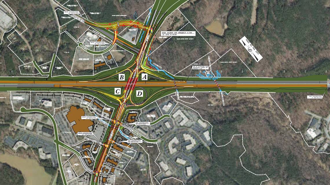
The redevelopment of the North Ramp General Aviation Area at Raleigh Durham International Airport in Morrisville, NC, necessitated a comprehensive Subsurface Utility Engineering (SUE) investigation to ensure the integrity and functionality of underground utilities across the project's expansive 71+ acre footprint.
This case study delves into the methodologies, findings, and implications of the Level B utility investigation conducted by a specialized SUE company, showcasing the integration of technology in mapping and the strategic planning required for airport infrastructure projects.
Project Scope and Overview
The project aimed to accurately map 67,437 feet of underground utilities within the airport's property, including public access roads and the general aviation area.
This endeavor was critical for the airport's redevelopment plans, requiring detailed utility designation to prevent disruptions and ensure the safety and efficiency of the ongoing and future construction activities.
Methodologies Employed
Utility Designation and Mapping
The SUE company employed a multifaceted approach to designate the underground utilities, utilizing Quality Level B (QL-B) techniques.
This included:
- Ground Penetrating Radar (GPR): For non-invasive detection of subsurface utilities.
- Magnetic Locating Tools: To identify metallic underground infrastructure.
- Pipe and Cable Locators: For tracing and mapping the path of underground pipes and cables.
Utility Breakdown by System and Owner
The comprehensive mapping effort identified various utility systems, categorized by owner, including:
Water: 6,926 feet (owned by RDU)
Power: 10,200 feet (owned by Progress Energy, RDU, and FAA)
Communication: 29,108 feet (owned by BellSouth and FAA)
Gas: 5,825 feet (owned by PSNC)
Fire Suppression System (FSS): 1,960 feet (owned by RDU)
Unknown Utilities: 13,419 feet
Vault Inspection
The designation process involved accessing and inspecting over 15 utility vaults, housing facilities owned by BellSouth, Progress Energy, FAA, and RDU. This step was crucial for verifying the presence and condition of utilities and facilitating accurate mapping.
Challenges and Solutions
Complex Utility Landscape
Navigating the dense and diverse network of underground utilities posed significant challenges, especially given the mix of known and unknown utility lines.
The use of advanced locating technologies like GPR and magnetic tools enabled the team to accurately identify and map the utilities despite these complexities.
Integration with Airport Infrastructure
Incorporating the mapped utilities into the airport's existing Geographic Information System (GIS) and AutoCAD frameworks required precise data translation and alignment.
This integration facilitates ongoing management, planning, and development activities at the airport, enhancing operational efficiency and safety.
Impact and Outcomes
The successful completion of the Level B investigation and mapping project provided Raleigh Durham International Airport with a detailed and actionable utility map, incorporated into its GIS system.
This resource is invaluable for guiding future redevelopment efforts, minimizing the risk of utility damage, and ensuring the continuity of essential services during construction activities.
Conclusion
The Raleigh Durham International Airport North Ramp General Aviation Area redevelopment project exemplifies the critical role of SUE in managing and mitigating the risks associated with underground utilities in large-scale infrastructure projects.
By leveraging advanced technologies and methodologies, the project team was able to deliver detailed, accurate mappings of the subsurface utility landscape, setting a benchmark for utility management in airport redevelopment projects.