 Unmanned Aerial Vehicles (UAVs)
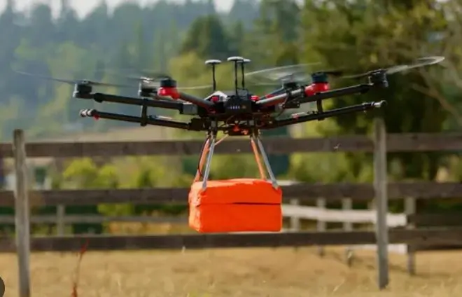
Unmanned Aerial Vehicles (UAVs), commonly known as drones, have become an increasingly valuable tool in the utility locating and infrastructure inspection industry.
UAVs offer a unique vantage point and can be equipped with a variety of sensors to detect, map, and monitor utilities both above and below ground.
This approach to utility locating is part of a broader trend towards leveraging advanced technology to improve efficiency, accuracy, and safety in infrastructure management.
How It Works
Aerial Imaging: UAVs equipped with high-resolution cameras can capture detailed aerial images of a site, providing valuable data for mapping surface features and infrastructure. This imagery can help in identifying potential utility paths and markers.
Thermal Imaging: Thermal cameras mounted on UAVs can detect temperature differences on the surface, which can indicate the presence of underground utilities like water and sewer lines, due to the thermal signature difference between the utility and the surrounding soil.
Ground Penetrating Radar (GPR): While more challenging to deploy from UAVs due to the technology's weight and power requirements, some advanced UAV systems can carry lightweight GPR systems. These can be used to detect and map underground utilities by sending and receiving radio waves that reflect off underground objects.
LiDAR (Light Detection and Ranging): UAVs equipped with LiDAR sensors can generate accurate 3D models of the terrain and surface structures, aiding in the identification of utility lines, poles, and other infrastructure components.
Advantages
Accessibility: UAVs can easily access difficult or hazardous terrain, reducing the risk to human inspectors and the need for expensive and potentially disruptive ground-based equipment.
Efficiency: Covering large areas much faster than ground-based surveys, UAVs significantly speed up the utility locating process, enabling rapid response to planning and maintenance needs.
Data Quality: UAVs can capture high-resolution, geo-referenced data, providing detailed insights into the condition and location of utilities and related infrastructure.
Cost-effectiveness: UAV inspections can be more cost-effective than traditional methods, especially over large or difficult-to-access areas, by reducing the manpower and time required for surveys.
Applications
Utility Mapping: Mapping the locations of electrical lines, pipelines, and other utilities for maintenance, planning, and compliance purposes.
Infrastructure Inspection: Inspecting utility poles, transmission lines, and other infrastructure components for damage or wear and tear.
Environmental Monitoring: Monitoring changes in the environment that could affect utility infrastructure, such as erosion, vegetation encroachment, or water levels.
Construction Monitoring: Providing real-time data on construction progress and helping to ensure that new infrastructure does not interfere with existing utilities.
Limitations
Regulatory Restrictions: The use of UAVs is subject to regulatory restrictions, including airspace regulations and privacy concerns, which can limit their use in certain areas or applications.
Technical Limitations: While UAVs are highly versatile, the weight and power requirements of some sensors, like GPR, limit their deployment on smaller UAV platforms.
Data Processing and Analysis: The vast amounts of data collected by UAVs require sophisticated processing and analysis tools, as well as expertise to interpret accurately.
Conclusion
Despite these limitations, the use of UAVs in utility locating and infrastructure inspection is growing, driven by their ability to reduce costs, improve safety, and enhance the quality and accessibility of data for decision-making.